» Hiking guidebooks
� The Napoléon road hiking map
The Napoléon road hiking map
From Castellane to Sisteron

Description
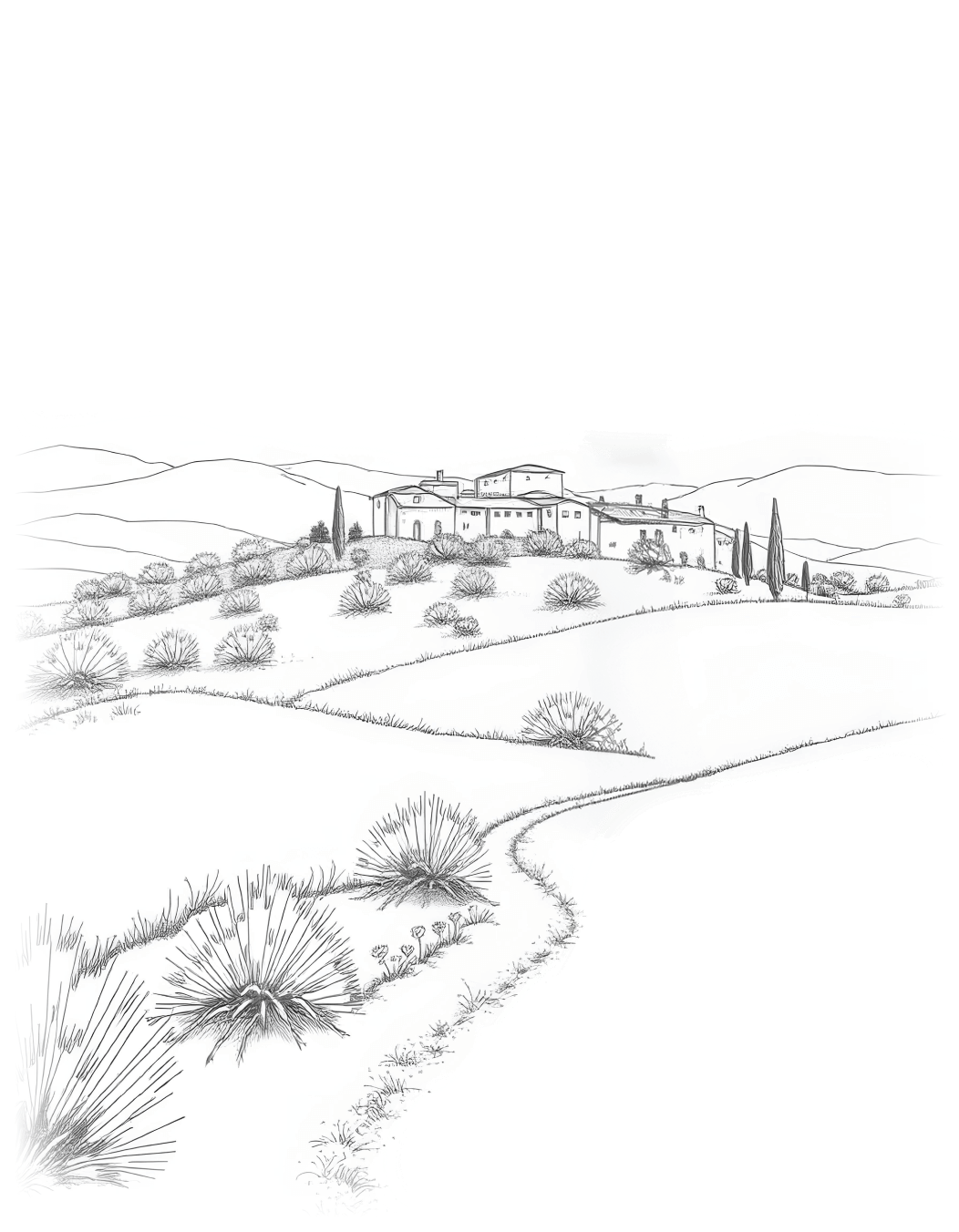
New special hiking map: lightweight and weatherproof, it will accompany you on your 6-day hike from Castellane to Sisteron, a distance of 108 km, along the famous Route Napoléon!
- Route accessible by public transport,
- Daily breaks, points of interest
- Map based on a 1:50,000 IGN map
- Access to accommodations, transport, and GPX tracks via the app
- Double-sided map on durable, weatherproof paper ;-)
- From Castellane to Digne on the front and from Digne to Sisteron on the back