The shop
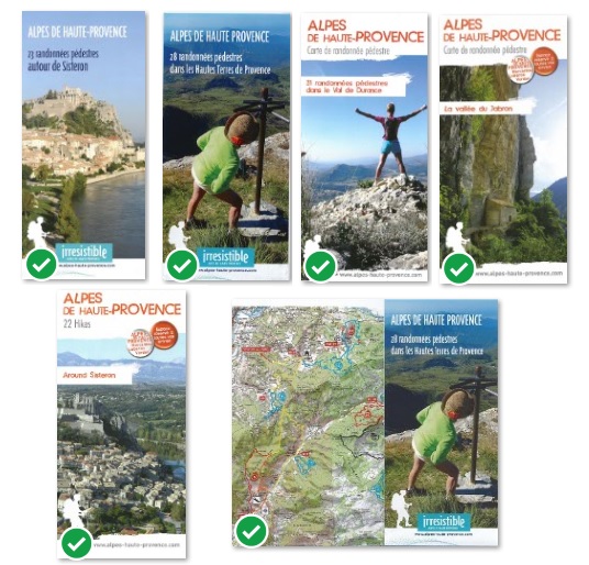
Hiking guidebooks
Hiking guidebooks in Sisteron Buëch.
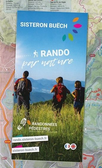
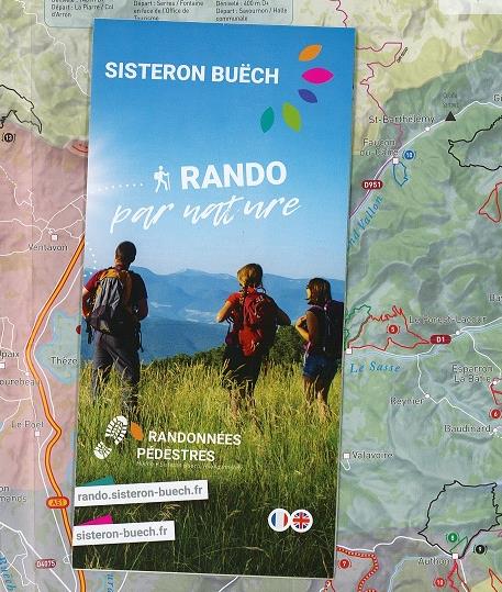
Hiking map
This map presents 65 hikes around Sisteron, Laragne, Serres, Rosans, Orpierre ans Le Caire. For each one : a color for the difficulty and a number on the map, duration, km, denivelation. On the other side all the informations to prepare your hike ans go walking all the year : Top 10, Patou Dogs, itinerance hikes, stays ... (in french and english)
Cette carte détaille tous les tracés mais sans descriptif précis. Si vous souhaitez un descriptif vous pouvez trouver plus bas les topoguides de chaque secteur.


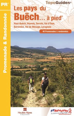
Hiking guide
40 promenades et randonnées sur l'ensemble des Pays du Buëch. Ce guide d'une centaine de pages vous présente pour chaque itinéraire une portion de carte IGN au 1/25000, un descriptif précis du parcours avec difficulté, km, dénivelé, durée...et aborde des thèmes associés à cette randonnée : faune, flore , patrimoine, produits locaux. Belles illustrations et photos couleur pour pimenter le tout !
- La boucle de Peysson dans les gorges de la Méouge 1h40 - 4.5 km - très facile
- Les Gorges de la Méouge 5h - 13 km - difficile
- Le Rocher St Michel 3h45 - 9.5km - moyen
- Le Tour de Rosans 1h30 - 4.5 km - très facile
- Sous le pic de Crigne - 3h15 - 6 km - moyen
- Le Rocher de Baumont -5h30- 13.5 km difficile
etc ...
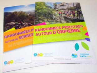
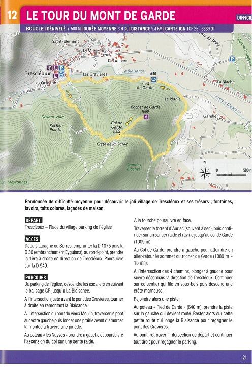
Guidebook "hiking near Orpierre"
21 hikes near Orpierre and Garde-Colombe, with a little map and a description with departure, and denivelation. From Col de Perty to Chabre Mountain, Gorges du Riou to Mont de Garde, you will discover magnificent natural landscapes ! This guide is in french but it's possible to download the circuit with description in english on rando.sisteron-buech.fr
Livret Orpierre Garde Colombe de 40 pages, 21 randonnées décrites, avec une portion de carte IGN par randonnée.
Livret Serres Rosans Vallée de l'Oule, 56 pages, 26 randonnées.
Format pratique 14.8 cm x 21 cm.
Cartes et illustrations en couleur.


Hiking near Laragne
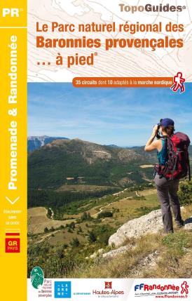
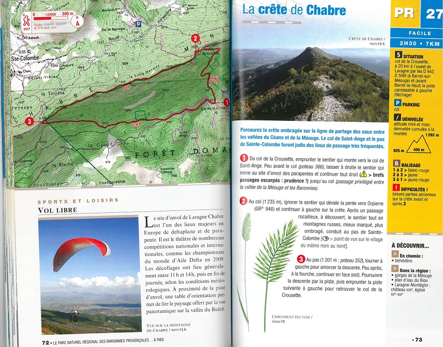
Hiking in the Provençal Baronies Regional Natural Park
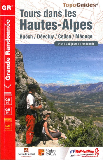
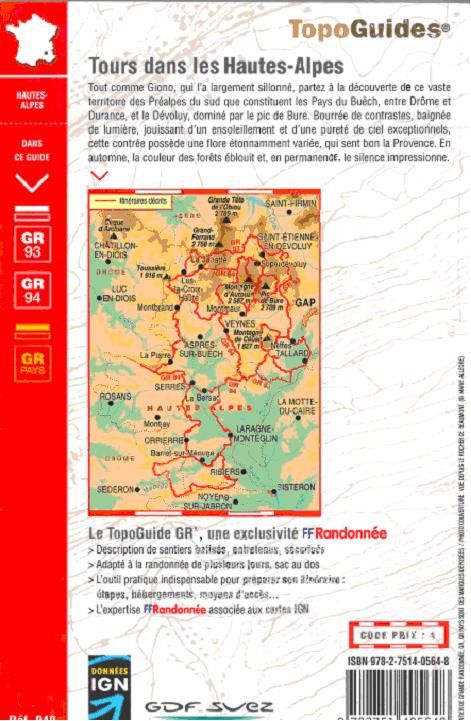
topographic tours in the Hautes Alpes
This guide presents the possibility of more than 30 days of itinerant hiking. It describes the part Hautes-Alpes of the GR® 93 and GR® 94 as well as 4 tours of the country: -the GRP® Tour of the Buëch (70 hours of hiking) -the GRP® Tour of the valley of the méouge (27 hours of hiking) -the GRP® Tour of the Dévoluy (25 hours of hiking) -the GRP® Between Céuse and Durance (22 hours of hiking) In the guide you will find all the practical information to plan your hike in itinernace according to your desire. IGN maps, precise description of each itinerary, accommodation, transportation, refueling points... 128 pages in french
MAP 22 hikes around Sisteron
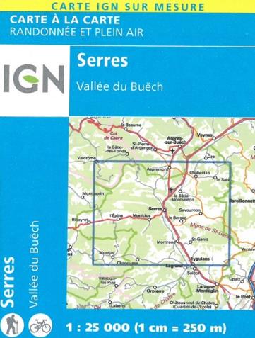

Special IGN MAP around Serres
- IGN Carte à la carte - Serres Vallée du Buëch
-
Carte au 1 : 25 000 (1 cm = 250 m), compatible avec le système GPS avec courbe de niveau et informations touristiques.


